SCIENCE PARTNERSHIPS
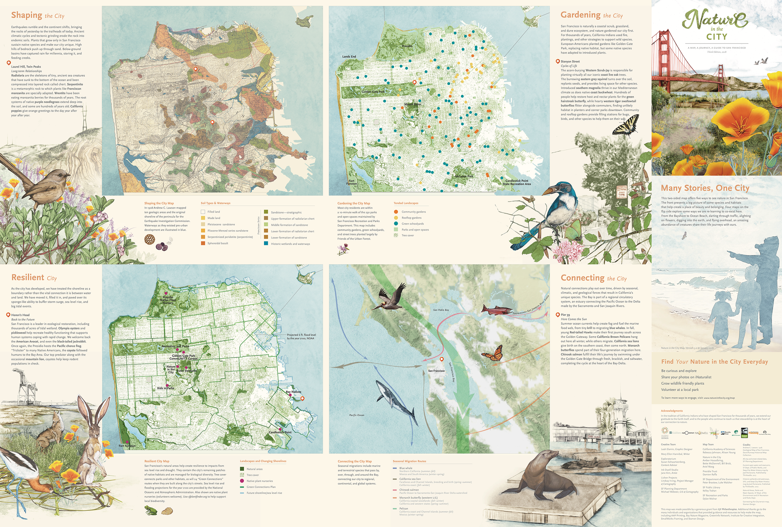
Nature in the City Map
In partnership with 27 scientific institutions, I directed communications, including launching and activating the Nature in the City Map, a scientific, physical map of San Francisco created with information visualized from public data and community.
2025 highlight: Ten years after I first joined Nature in the City, I was recognized by Executive Director Amber Hasselbring as a Founding Circle member for establishing the ethos that continue to power the organization’s mission today.

I directed communications strategy, including creating the website to serve as a hub to share biodiversity engagement opportunities.
In 2025 for Nature in the City's 20th anniversary celebration, I was honored as a Founding Circle member alongside community leaders for making significant civic impact.
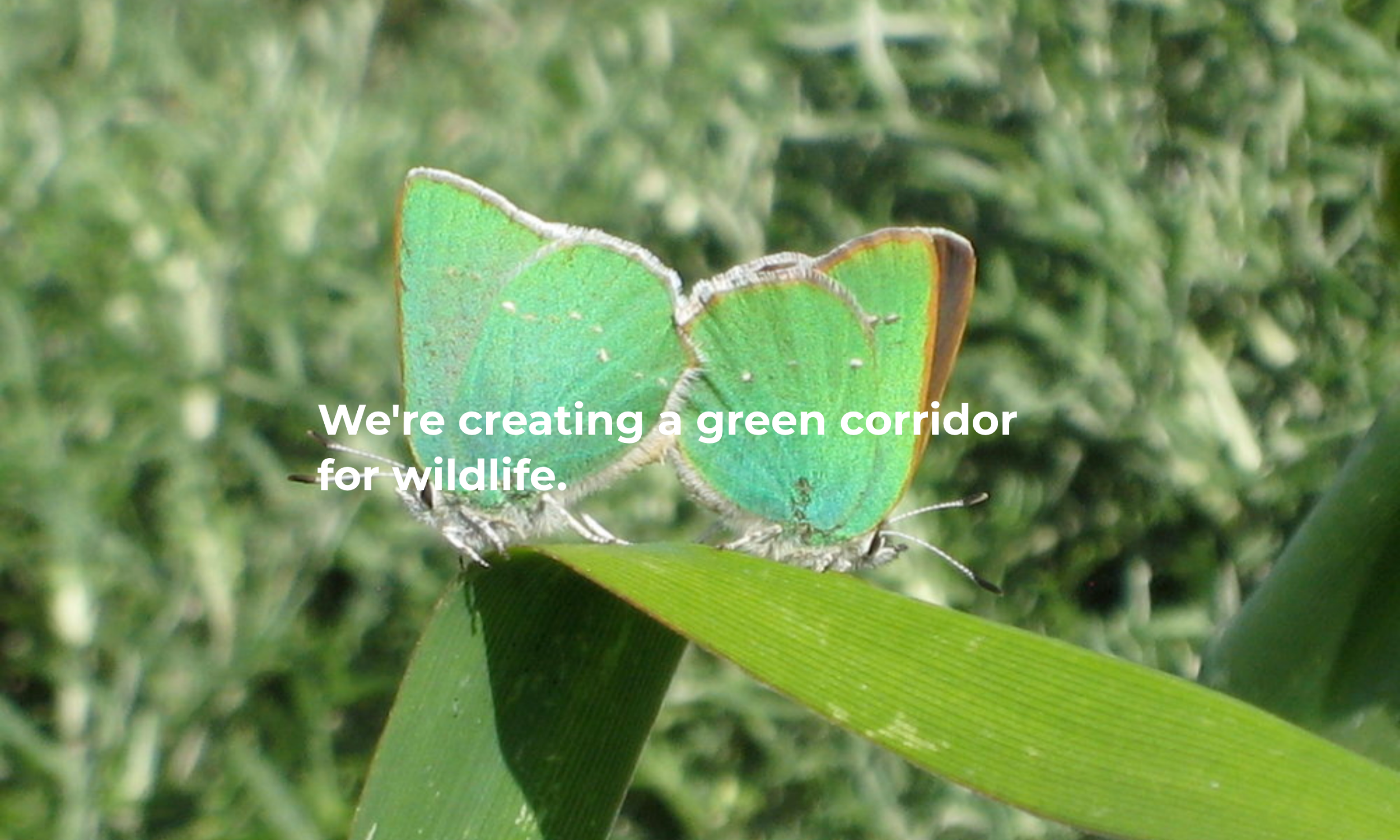
Desktop: Nature in the City leads hyper local environmental action, including protecting a network of public and backyard habitats for wildlife such as the native Green Hairstreak butterfly.
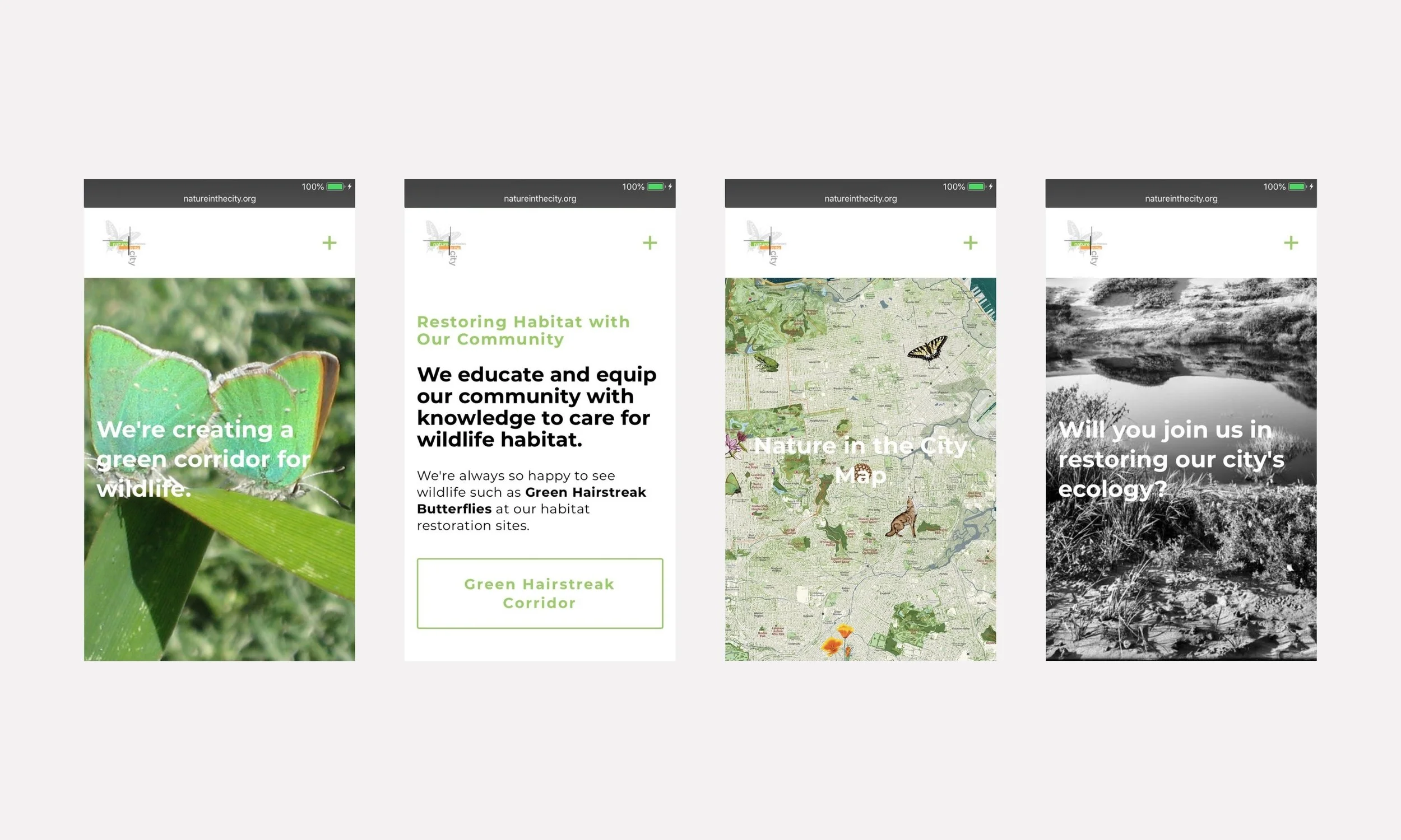
Mobile: To support organizational outreach, I built a mobile-first platform and successfully contributed to the community stewardship and restoration of 96,098 sq ft of wildlife habitat in San Francisco.
SFMOMA amplifying the Nature in the City Map on social media, linking directly to the digital ecosystem I built.

For public engagement, I moderated a panel discussion on the Nature in the City Map at the United Nations Global Climate Action Summit in San Francisco. Photo: SFMOMA
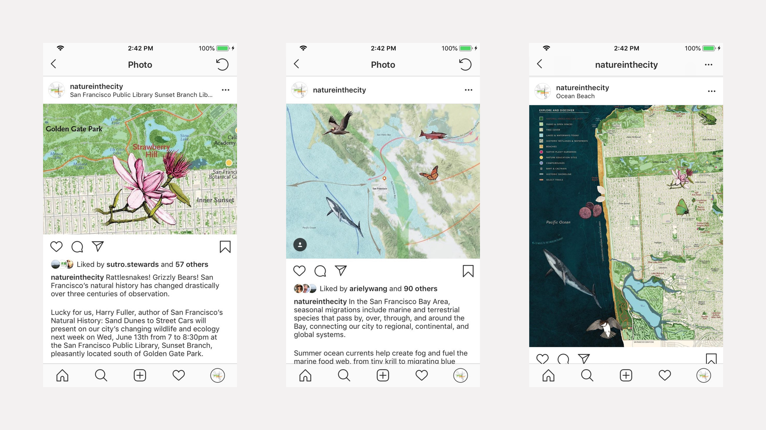
Social: In messaging, I prioritized partnerships and education, connecting audiences to advocacy, public programming, and habitat restoration opportunities.
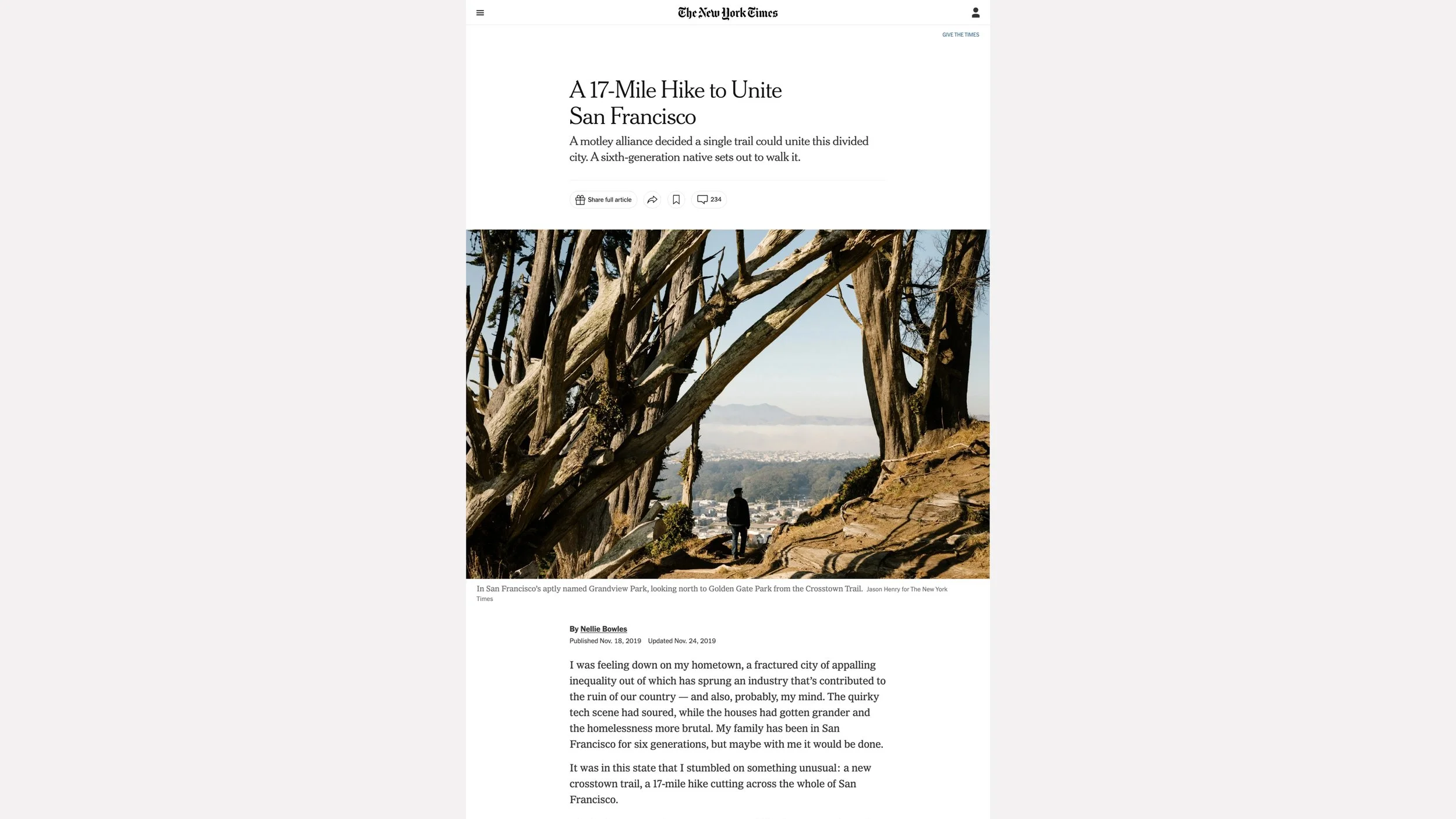
Natureinthecity.org is directly linked on this New York Times story and recognized as resource for local nature.
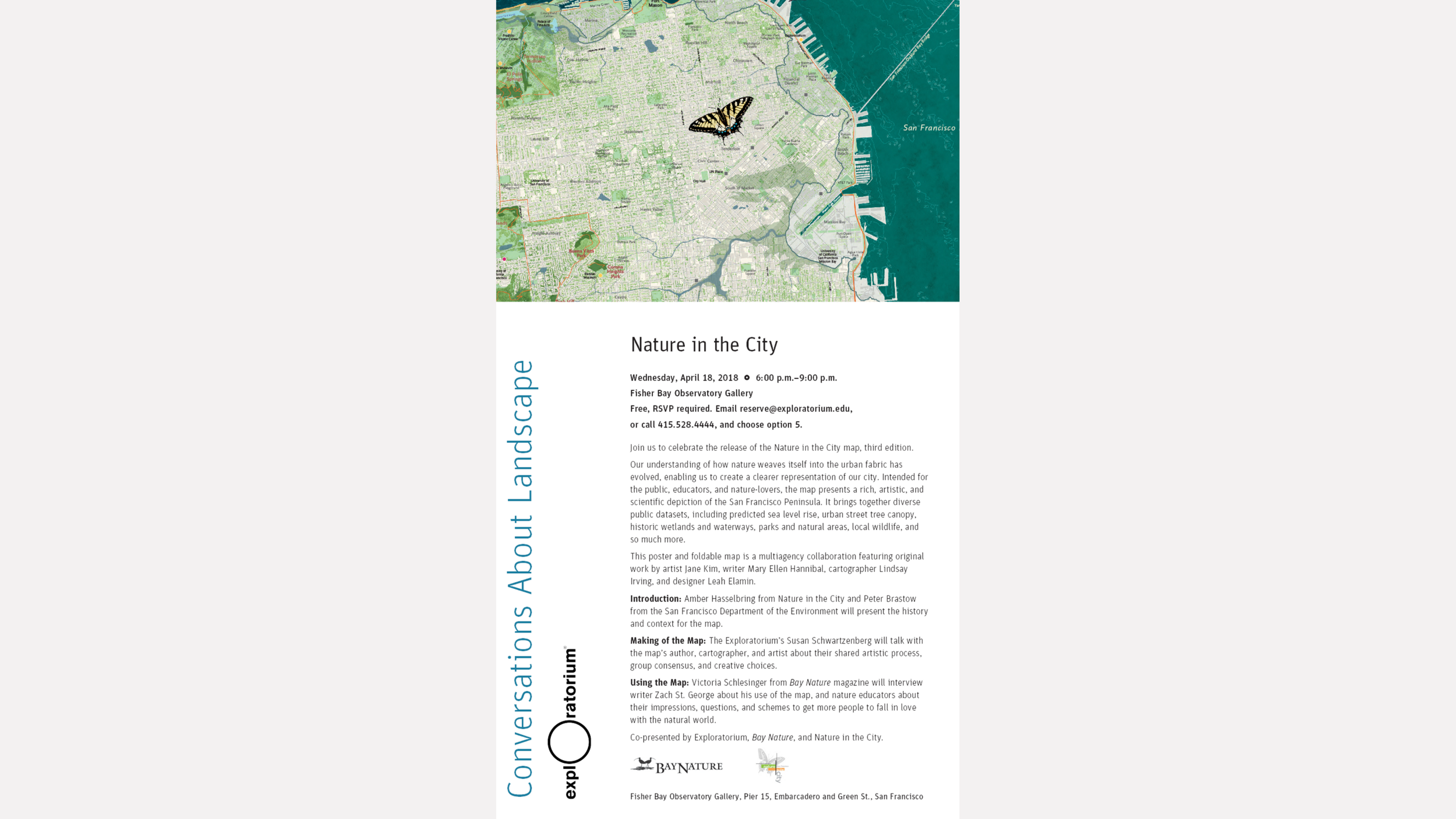
Flyer of one of the many public engagement programs designed to support the organizational goal of inspiring people in San Francisco to discover local nature. Flyer: Exploratorium
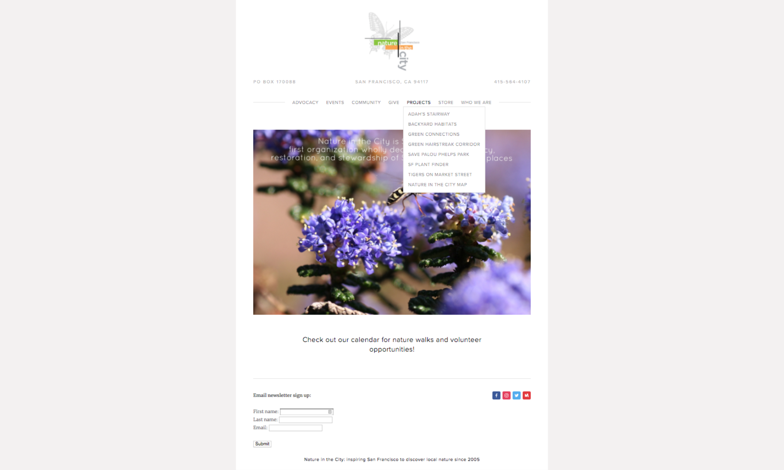
Before: Nature in the City's original website.
ADDITIONAL LINKS
-
CREATIVE TEAM
Leah Elamin, Graphic Designer
Mary Ellen Hannibal, Writer
Exploratorium, Susan Schwarzenberg, Content Advisor
Ink Dwell Studio, Jane Kim, Artist
Lichen Projects, Lindsay Irving, Project Manager & Cartography
San Francisco Department of Planning, Michael Webster, GIS & CartographyMAP TEAM
California Academy of Sciences, Rebecca Johnson, Alison Young
Nature in the City, Amber Hasselbring, Bette McDonnell, Bill Brick, Ariel Wang
Presidio Trust, Damien Raffa
San Francisco Department of the Environment, Peter Brastow, Luke Walcher
San Francisco Public Library, Kelley Trahan
San Francisco Recreation and Parks, Dylan MolnarCREDITS
Geological Map of San Francisco(1908), Andrew C. Lawson, David Ramsey Historical Map Collection.
All city and street related data, San Francisco Planning Department.
Current open water, reservoirs, and historic wetlands and waterways, San Francisco Department of Public Works, SFEI, Seep City Water History Map (2017), Thinkwalks, Joel Pomerantz.
Natural Areas, Parks and Open Spaces, San Francisco Department of the Environment and San Francisco Recreation and Parks Department.
Connecting the City terrain map, Stamen Design.
Nature in the City Map branding and product marketing, Nature in the City, Ariel Wang.THANK YOU
This map was made possible by a generous grant from EJF Philanthropies. Additional thanks go to the many individuals and organizations that provided guidance and resources to help make the map, including AMP Printing, Bay Nature Magazine, GreenInfo Network, Institute for Creative Integration, SmallWorks Framing, and Stamen Design.